From the Southernmost Point to the Highest Peaks
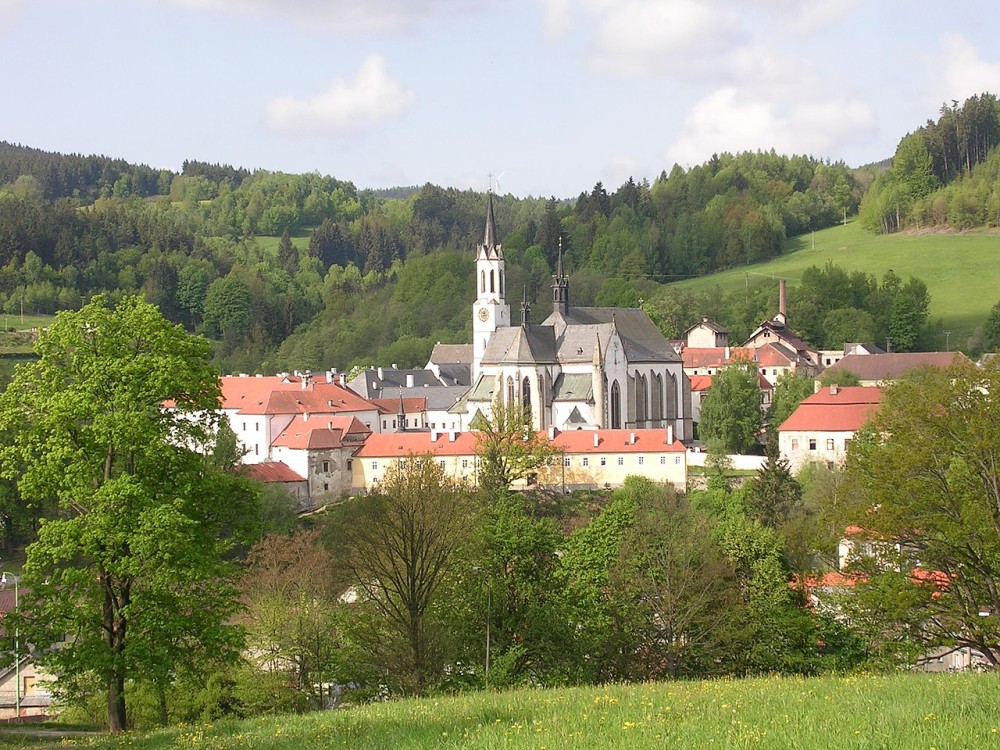
Vyšší Brod
Level of difficulty
difficult
surface
50% Asphalt, 30% Forest path, 20% Gravel
Type of bike
gravel, MTB, e-bike
Refreshments
6x on the route
Distance
37 km
Duration
3:00 hrs
route description
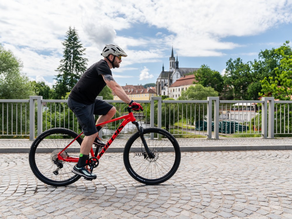
Do you like a good challenge? Then we’ve got one for you!
You won’t find much flat ground on this route – at its highest point, you’ll climb to over 1,000 meters above sea level.
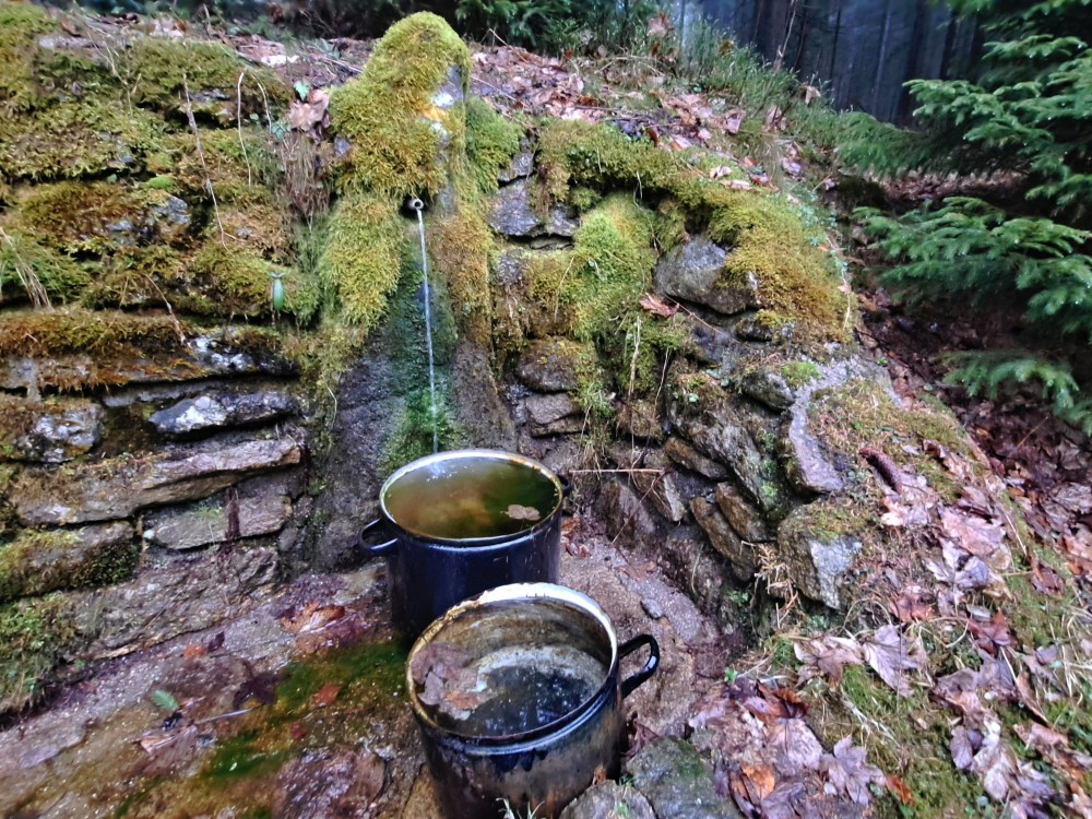
Start at the southernmost point of Bohemia, then enjoy some authentic Austrian cuisine at Schanzstüberl, and on your way back, try to spot the vanished Czech villages, such as Kapličky.
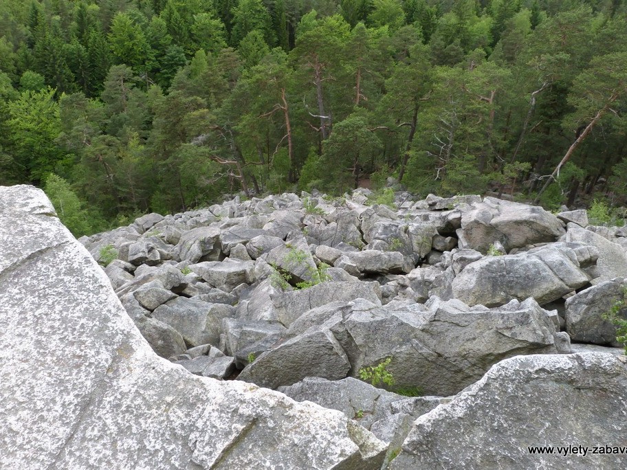
In Loučovice, you’ll join a great cycling path, and the descent along the Devil’s Rapids will be your well-earned reward.
You won’t find much flat ground on this route – at its highest point, you’ll climb to over 1,000 meters above sea level.
Start at the southernmost point of Bohemia, then enjoy some authentic Austrian cuisine at Schanzstüberl, and on your way back, try to spot the vanished Czech villages, such as Kapličky.
In Loučovice, you’ll join a great cycling path, and the descent along the Devil’s Rapids will be your well-earned reward.
- Distance
- 37 km
- Duration
- 3:00 hrs
- elevation +
- 625 m
- highest point
- 1004 m
stops along the route
tips from locals and out-of-towners